 I'm an image title. |  I'm an image title. |  I'm an image title. |  I'm an image title. |  I'm an image title. |  I'm an image title. |  I'm an image title. |
|---|---|---|---|---|---|---|
 I'm an image title. |  I'm an image title. |  I'm an image title. |  I'm an image title. |  I'm an image title. |
 |  |  | |
|---|
SHANGLA
We dream, explore, create and craft
progressive digital experiences
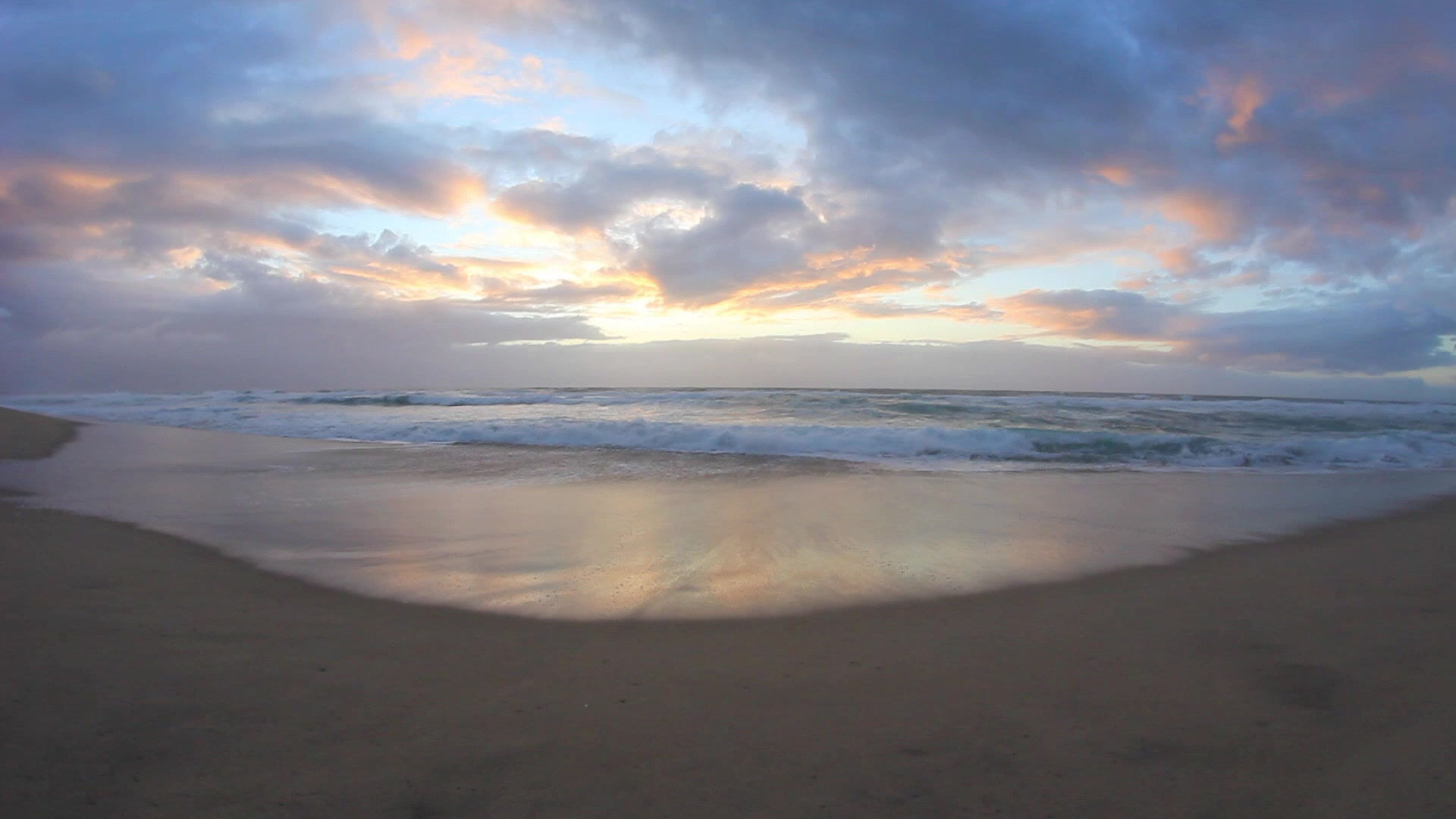
The best district of kpk,pakistan
Work & Clients

We design great websites and all sorts of interactive products from start to finish
Meet The Folks:


shangla map
grade station shangla


bisham
Asmani morr Shangla
 |  |  |  |
|---|---|---|---|
 |
Location
The district is bounded in the north by Kohistan District, in the east by Battagram District and the tribal area of Kala Dhaka (Black Mountain of Hazara), in the west by Swat Districtand in the south by Buner Distrit
HISTORY:
There are relics of the ancient Greek period at Pirsar, Chakesar and Daut. it is believed that Alexander the Great camped at Pirsar for a few days. There are also relics of the Hindu Shahi in Qlandar-Ajmaireography[edit]
Map of Shangla district
The communications with Swat are Shangla pass (Shangla top).[2]
Shangla district consists of small valleys, and is situated between the hillocks and surrounded by high mountains full of forests comprisingPindrow Fir, Morinda Spruce, Blue Pine (Kail), Chir Pine and Deodar Cedar trees. The average elevation of the district is 2000 to 3000 meters above sea level.[2] The highest point (3,440 m) is near Kuz Ganrshal in the north of the district.[2]
Shangla
Shangla District (Urdu: ضلع شانگه) is located in the Khyber-Pakhtunkhwa province of Pakistan. The district headquarters are located at Alpuri.[1] It was previously a subdivision of Swat District, but was upgraded to the status of a district on July 10, 1995[2]by the then Chief Minister Aftab Khan Sherpao. The total area of the district is 1,586 square kilometres.[2] Shangla comprises two sub division, Alpuri and Puran Tehsil.[1] There are four (4) sub tehsils i.e. Besham, Chakesar, Martung and Makhuzai. Shangla has the lowest Human Development Index in the province and second lowest in the country.
What We Believe
I'm a paragraph. Click here to add your own text and edit me. It’s easy. Just click “Edit Text” or double click me to add your own content and make changes to the font. Feel free to drag and drop me anywhere you like on your page. I’m a great place for you to tell a story and let your users know a little more about you.
This is a great space to write long text about your company and your services. You can use this space to go into a little more detail about your company. Talk about your team and what services you provide.
Tell your visitors the story of how you came up with the idea for your business and what makes you different from your competitors. Make your company stand out and show your visitors who you are.
How We Work
I'm a paragraph. Click here to add your own text and edit me. It’s easy. Just click “Edit Text” or double click me to add your own content and make changes to the font. Feel free to drag and drop me anywhere you like on your page. I’m a great place for you to tell a story and let your users know a little more about you.
This is a great space to write long text about your company and your services. You can use this space to go into a little more detail about your company. Talk about your team and what services you provide. Tell your visitors the story of how you came up with the idea for your business and what makes you different from your competitors. Make your company stand out and show your visitors who you are.
 |  |
|---|---|
 |  |
 |  |
 |  |
 |

